Help Us Preserve the Beechwold Connector
The City is planning to build a 75 yard shared use path on city parkland that will connect Rathbone and Jeffrey Place. It’s an important piece of the Clintonville Neighborhood Greenways safe streets network (CNG). This connection has been in the CNG route since 2015, when it was approved by the Clintonville Area Commission. It’s been funded by the City and has gone through several design phases with input from residents.
Despite thorough vetting and approvals, the City still needs to hear from people that support this connector to ensure it’s completed as planned. Continue below to learn more. Or skip down to see how you can help.
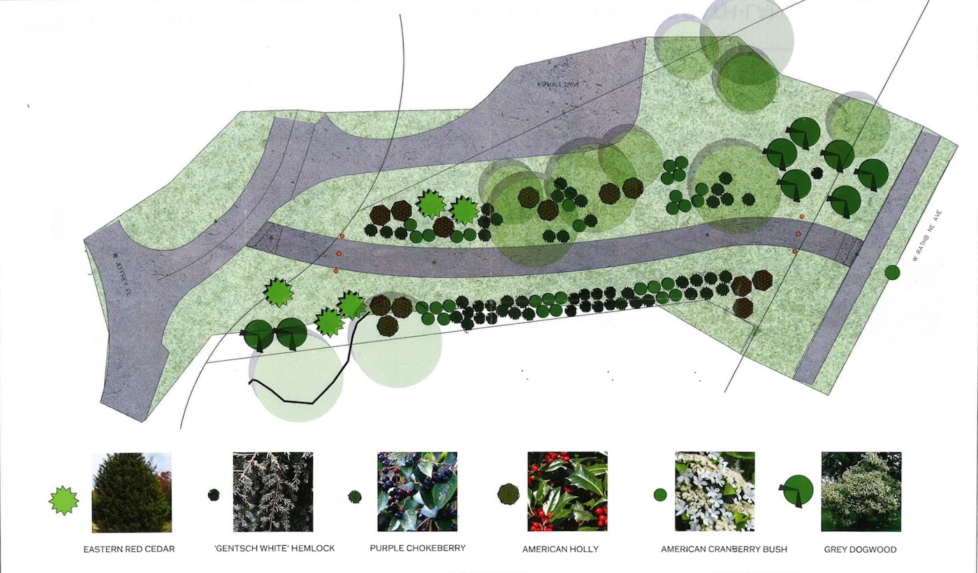
Beechwold Connector Park Improvements
The Beechwold Connector includes a complete renovation of the parkland that connects Rathbone and Jeffrey Place. This includes removal of invasive plants and a new landscaping plan with 109 native plantings, including
- 5 Eastern Red Cedars - which grow to 30-40 ft
- 13 American Hollies - which grow to 13-25 ft
- Dogwoods - which grow at least 15ft
- Gentsch White Hemlocks
- Cranberry Bushes
- Purple Chokeberries
Not only are we gaining an important neighborhood connection, we are also getting a newly renovated park in the heart of Old Beechwold and Delawanda.
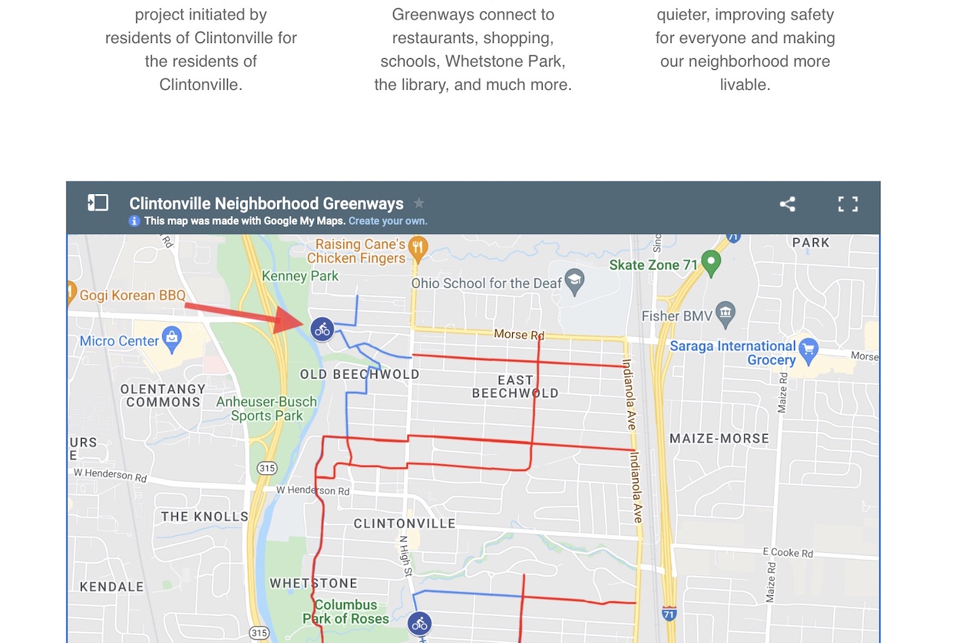
What is the Beechwold Connector?
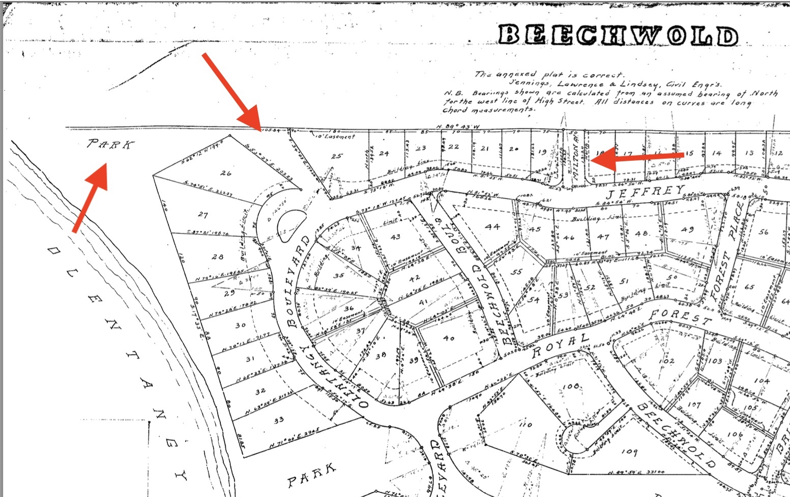
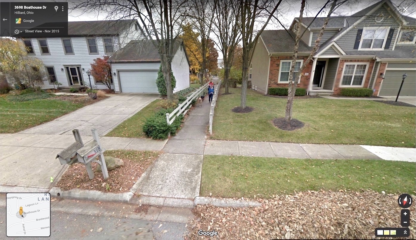
The Beechwold Connector is a key link in a larger, neighborhood-wide safe streets network called the Clintonville Neighborhood Greenways. The Connector is located between Rathbone and Jeffery Place (see map).
An important element of any safe street network is connecting people to destinations. The Beechwold Connector is particularly beneficial in this regard. It’s similar to other connectors throughout the city that allow bike and pedestrian traffic to travel through neighborhoods instead of along more heavily trafficked roadways.
-
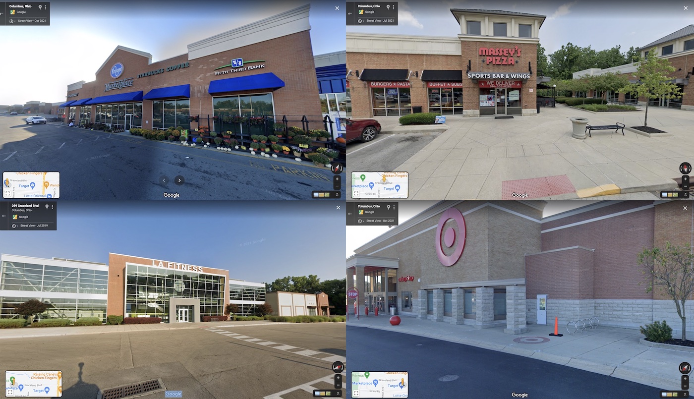
The Beechwold Connector connects people to Graceland Shopping Center.
-
The Beechwold Connector connects children to schools including Red Oak Community School, OLP Catholic School, Indian Springs Elementary, Bishop Watterson, and Whetstone High School.
-
The Beechwold Connector connects people to the Olentangy Trail via the Henderson Rd access point.
-
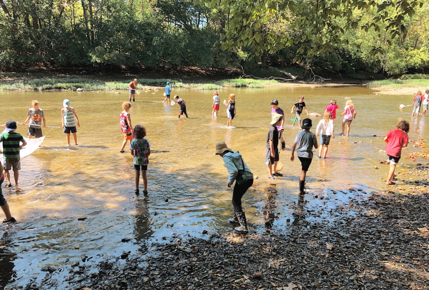
The Beechwold Connector connects people to the athletic fields, nature preserve, and sledding hill at Kenny Park.
-
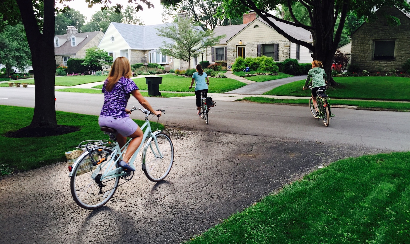
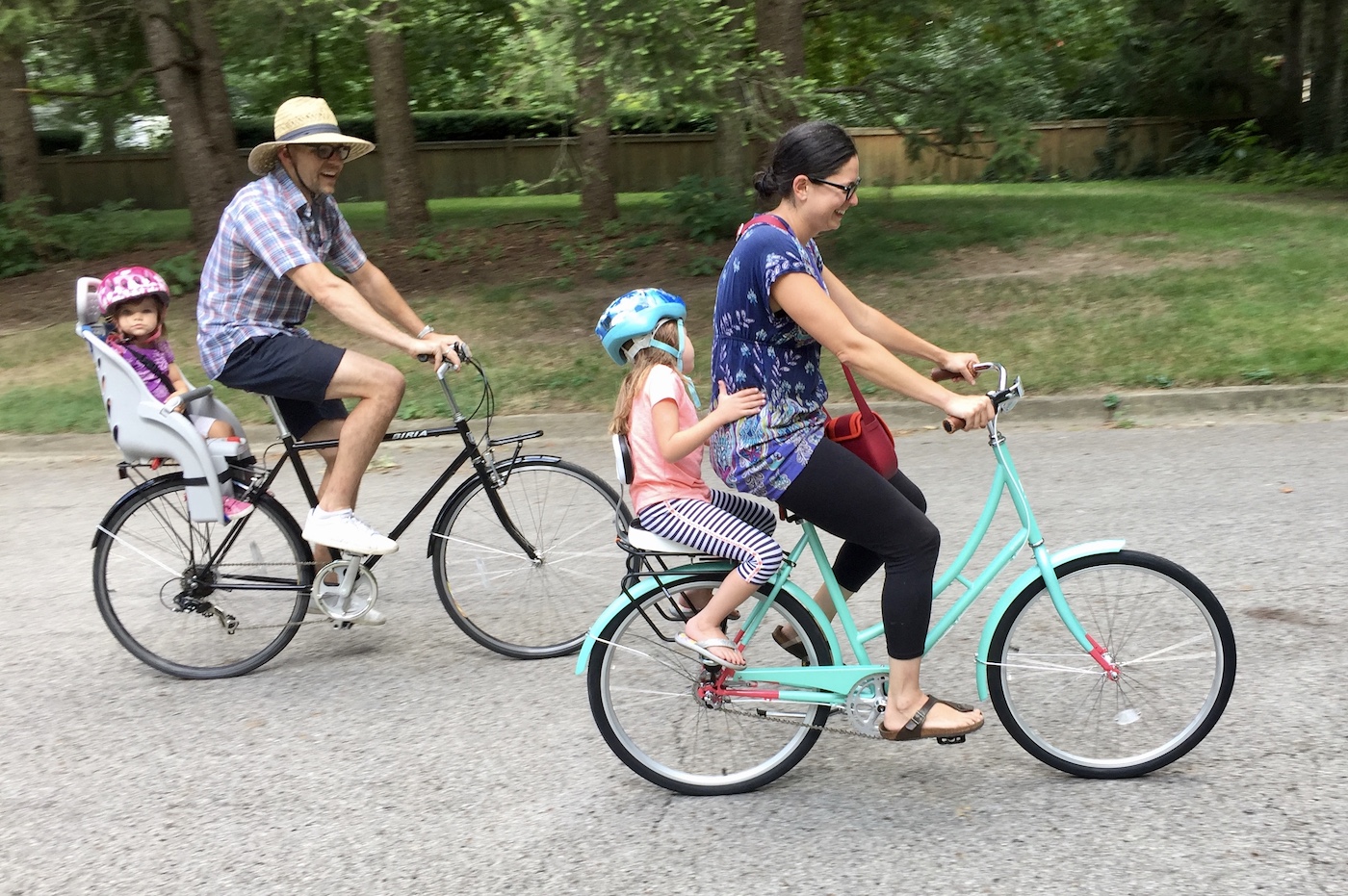
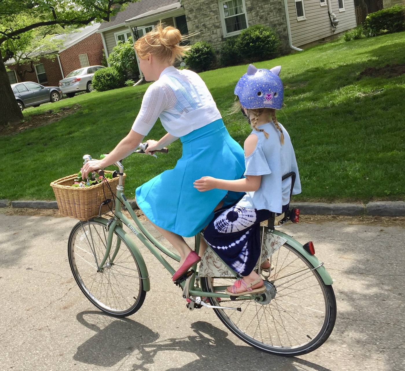
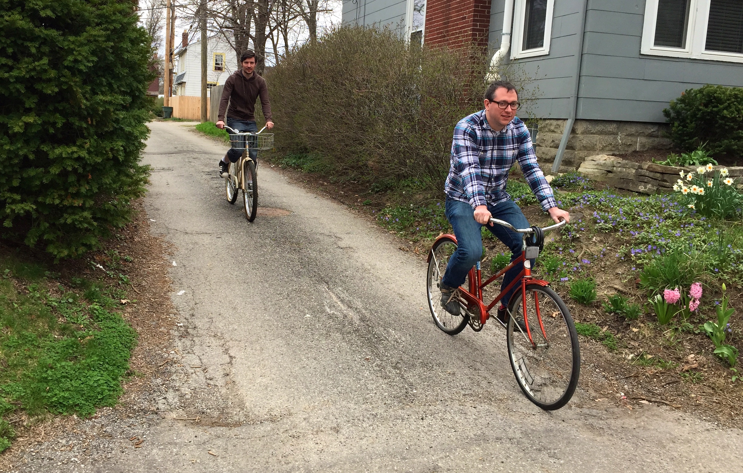
The Beechwold Connector connects people to friends and family. Children in Beechwold ride their bikes to friend’s houses and to see family and grandparents.
Frequently Asked Questions
Below are some common questions about the Beechwold Connector. See our FAQ page for more.
People on bikes are not a danger to other road users. The Olentangy Trail and Alum Creek Trail are both narrower and windier than roads in Old Beechwold. These corridors serve significantly more traffic than Old Beechwold without any problems.
Even if sufficient room were achieved, there are numerous conflict points where turning cars would pose a risk to people on bikes due to the high level of traffic and speeds on High St.
If, after all that, we change our minds and say "on second thought, we don't actually want this", it undermines our credibility and impacts our ability to get help from the City on future projects, regardless of what they are.
How You Can Help
If You Live In Clintonville
Email the people below and let them know you support the Beechwold Connector. Tell them you want the City to keep its commitment to build it. Use the addresses below, or click here to start an email to everyone.
-
Jennifer Gallagher Director of Public Service
jlgallagher@columbus.gov -
Michael Stevens Director of Development
mhstevens@columbus.gov -
Lourdes Barroso de Padilla Columbus City Council. Chair of Public Service
Legislative Aide: Jessica Caceres jicaceres@columbus.gov -
David Vottero Clintonville Area Commission Chair
cacdistrict1@gmail.com -
Joe Motil Clintonville Area Commission District 6 (Beechwold area)
joe.motil@yahoo.com
The email should include:
- Subject: I Support the Beechwold Connector
- Message: As a resident of Clintonville, I’m emailing to show my support for the Beechwold Connector. The project has been approved by the CAC, funded by the City, and has undergone several design phases with input from residents. It will enhance our neighborhood and bring additional safety to people walking and biking to shops, schools, parks, and friend’s houses. It would be a mistake to not follow through on our plans to build this important connector.
- Your name and address
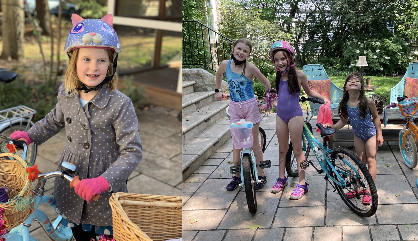
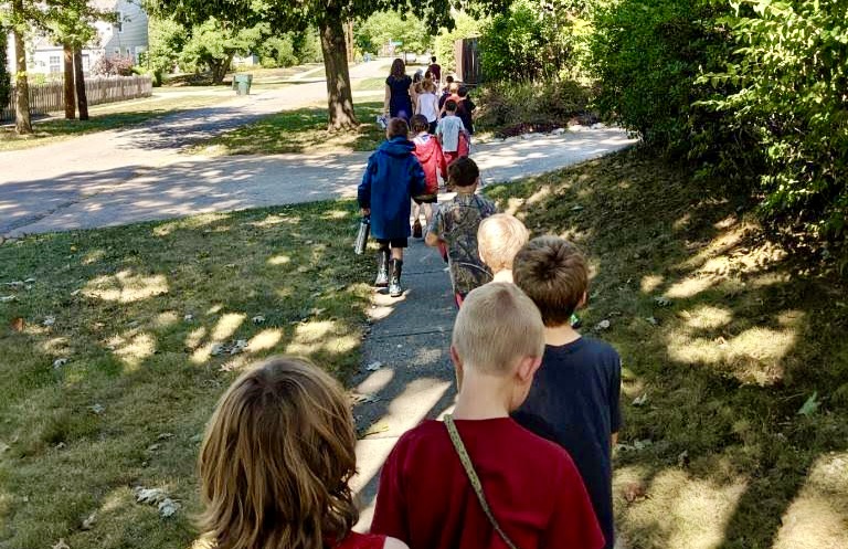
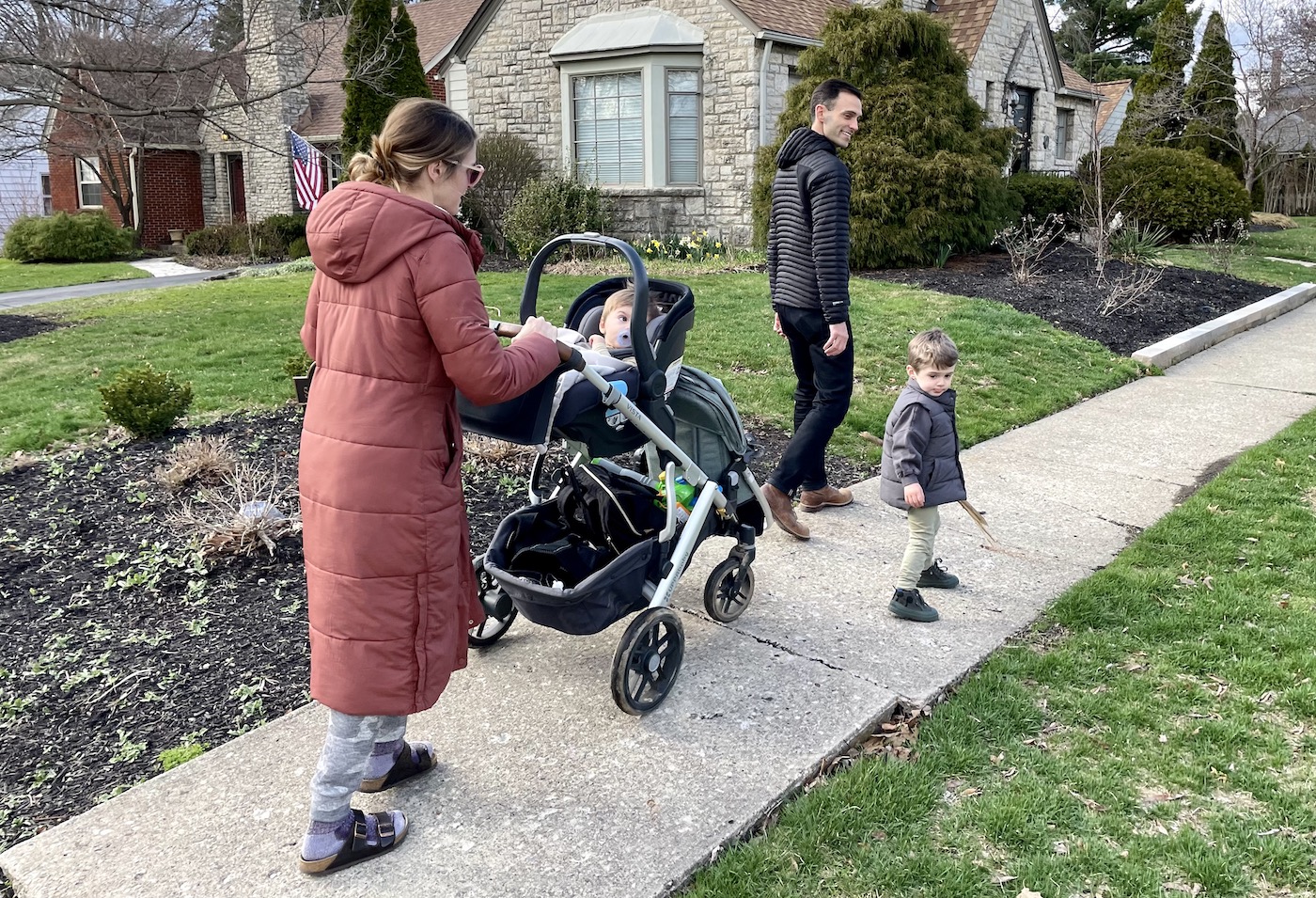
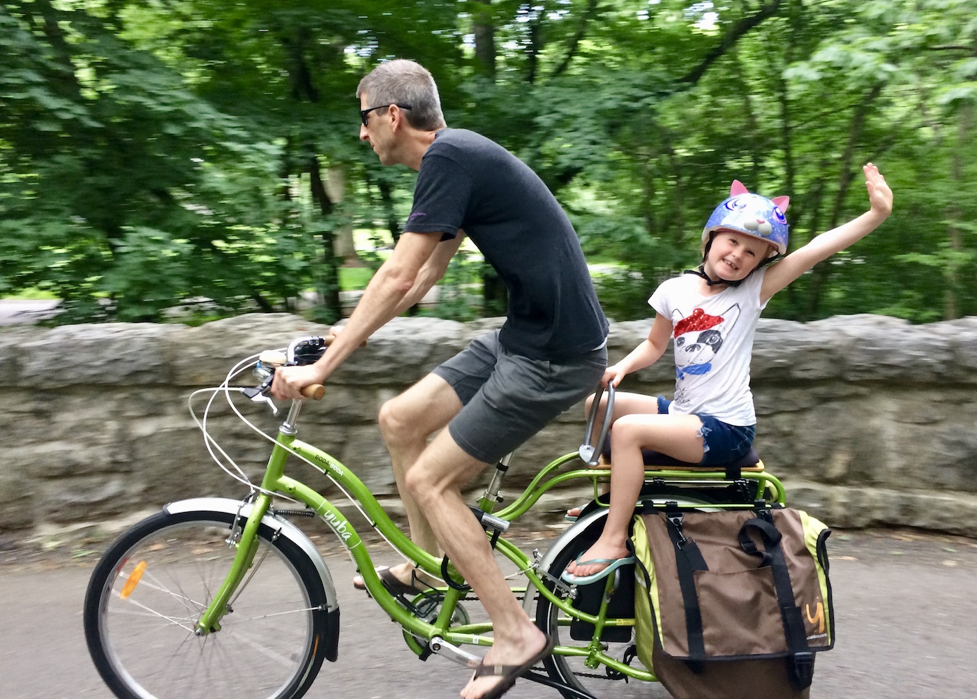
- Bonus: Attach photos of you and your family on bikes, walking with strollers, wagons, etc.
If You Live Outside of Clintonville
Your voice still matters. Everything is the same as above, but use a different distribution list without David Vottero and Joe Motil. Click here to start an email to everyone.
History
-
The Beechwold Connector is part of a larger, neighborhood-wide safe streets network that was identified as a priority in the 2015 Clintonville Area Commission Planning and Development Committee’s mobility plan.
-
This website, describing the project, was launched in 2015 and widely promoted. The Beechwold Connector has been on the route map since the site launched in 2015.
-
In June 2015 the neighborhood-wide safe streets network (called the Clintonville Bikeway) was discussed & approved by the Clintonville Area Commission as part of a larger Urban Infrastructure Recovery Fund package. This UIRF package, including the bike network was also vetted and approved by the City of Columbus. The full route map was available at that time and was examined and approved by all CAC commissioners and city officials involved.
-
In September 2017 The CAC received an additional update on all UIRF projects, including the Clintonville Bikeway network. Once again, all CAC members had a chance to review the route map and design. The CAC re-affirmed their approval at that time.
-
There were articles about the Clintonville bike network in both The Columbus Dispatch and Columbus Underground. The Dispatch article included the route map showing the Beechwold Connector.