Shared Use Paths Connect Neighborhoods Throughout Columbus
A component of the Clintonville Neighborhood Greenway is a shared use path that connects Rathbone Ave to Jeffrey Place. The path will be constructed on city parkland. Here’s a map of the location and here’s a drawing of what it will look like.
While this may seem unusual, shared use paths are used throughout Columbus to connect neighborhoods to each other and to nearby trail systems. These connections make the neighborhoods safer and more desireable to live in.
The neighborhoods are safer because there are more “eyes on the street”. More people that live in the neighborhood are out and about and are more likely to see and report suspicious activity. The neighborhoods are more desireable because people have more options to move safely around their community. They have more “random encounters” with other people, resulting in increased feelings of belonging and wellbeing.
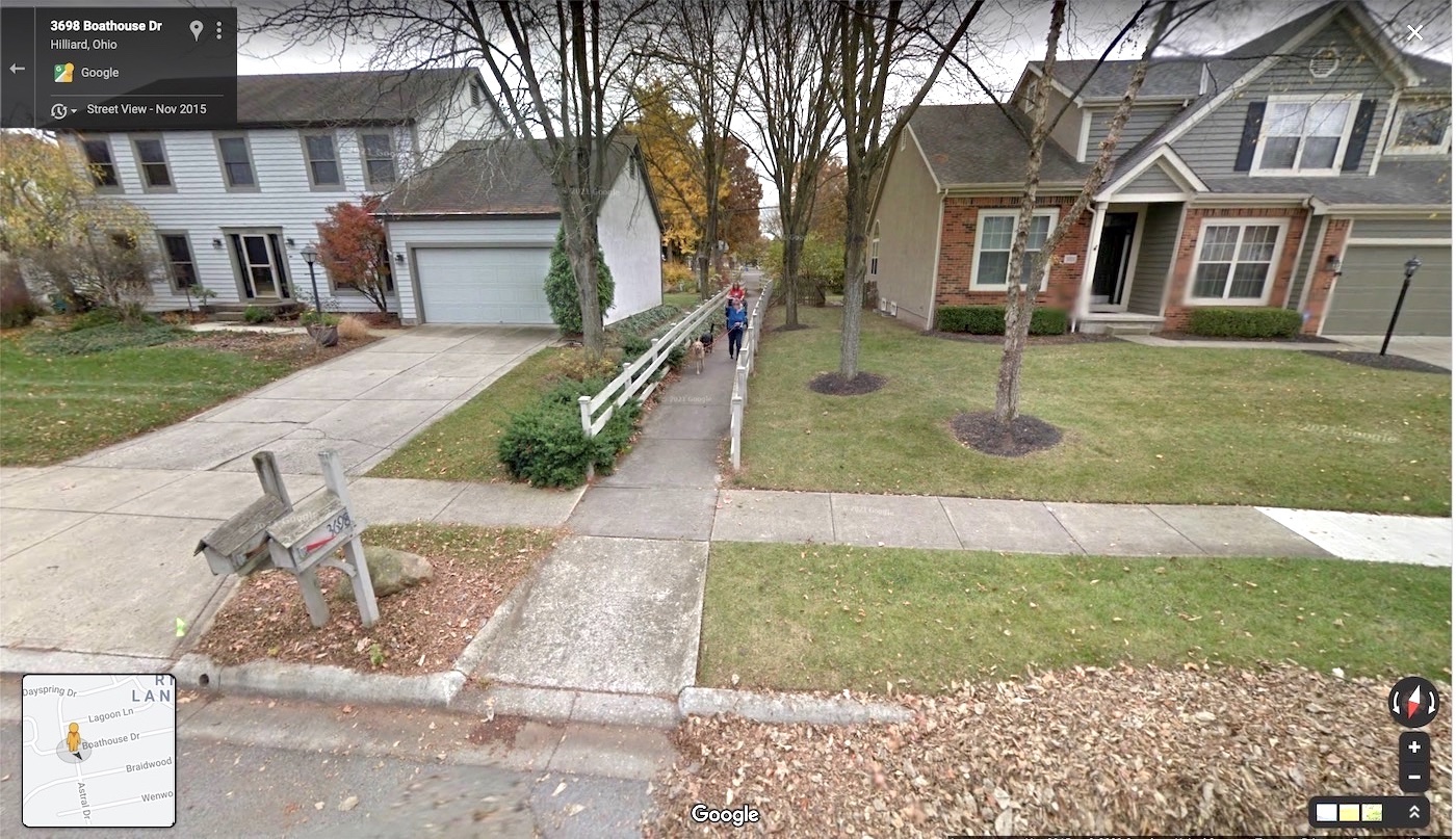
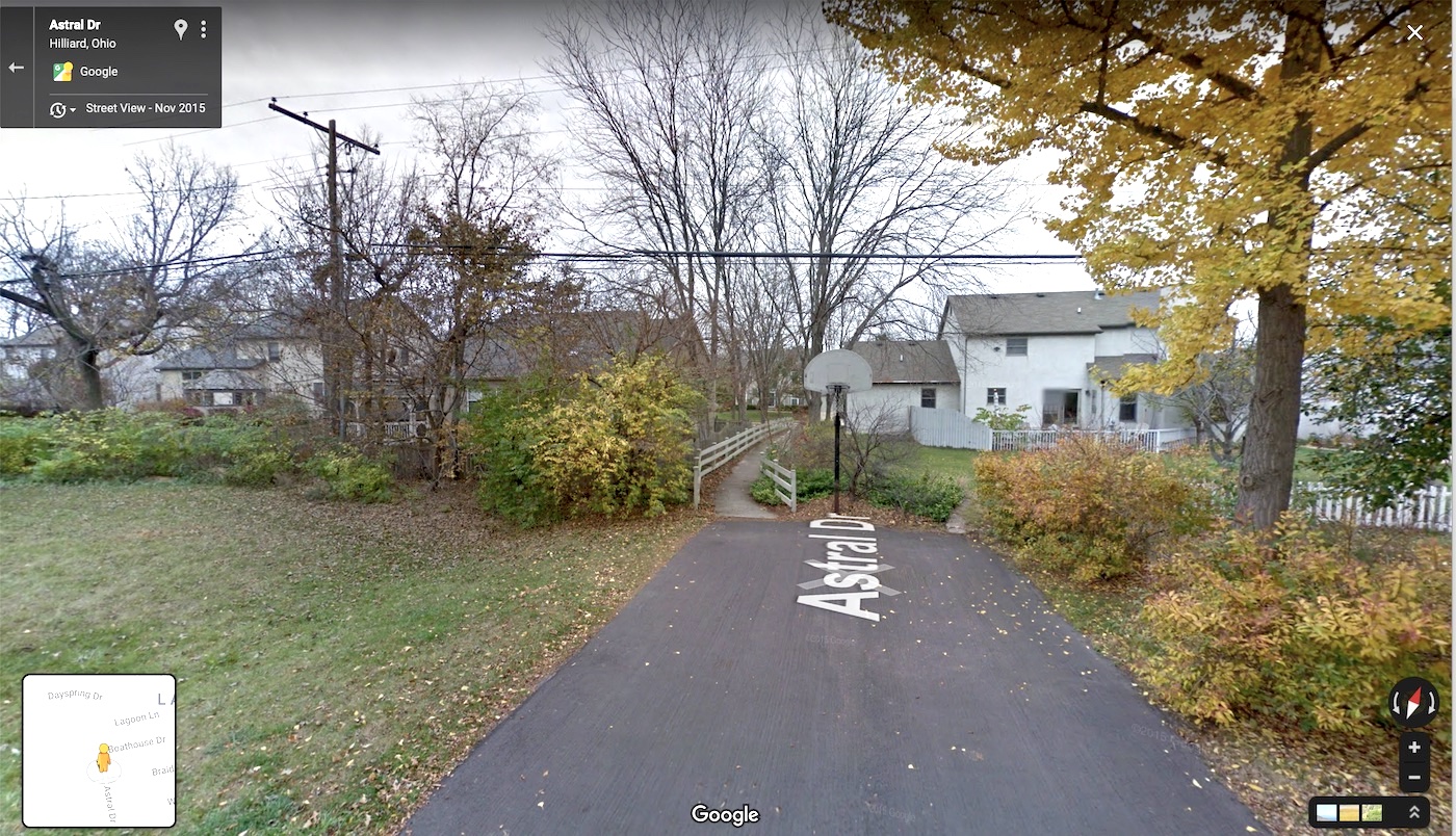
Boathouse Drive to Astral Drive
This short connector links two neighborhoods in Northwest Columbus. See it on a map.
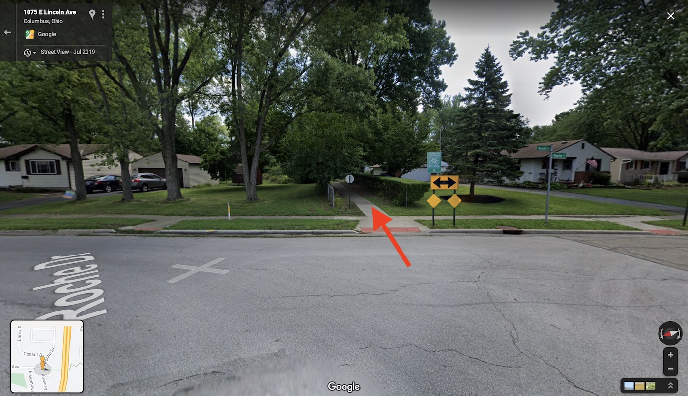
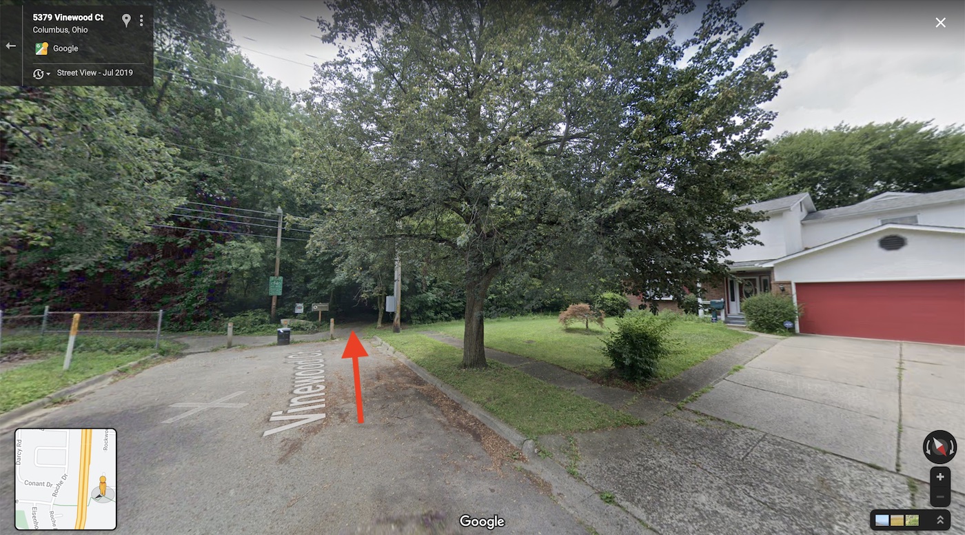
Lincoln Ave to Vinewood Drive I71 Overpass
This I71 overpass provides a vital connection between Salem Village and Forest Park in Northwest Columbus. See it on a map.
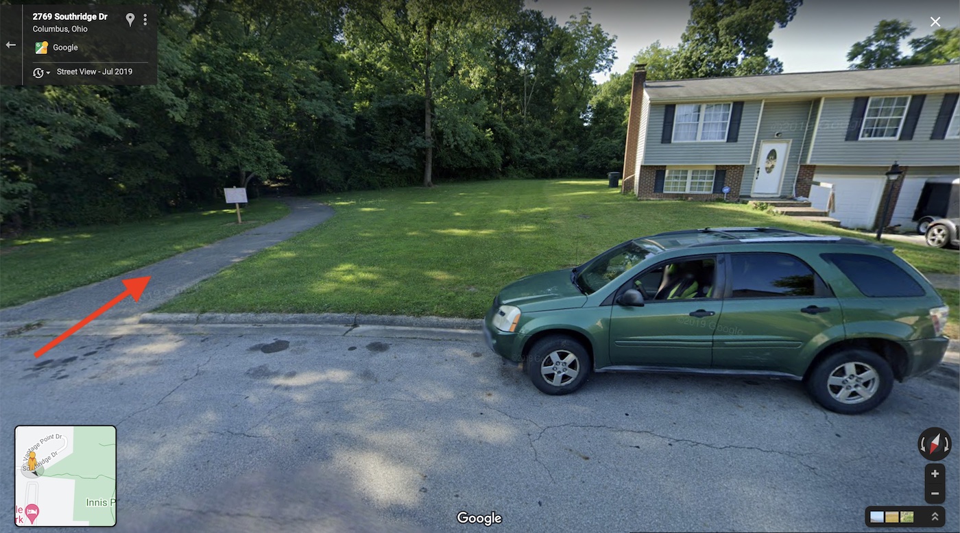
Alum Creek Trail Connections
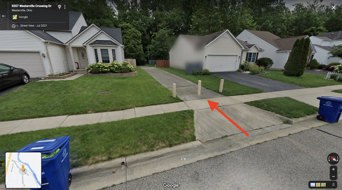
There are numerous connections between neighborhoods and the Alum creek trail. Some are shown below. These connections provide a safe way for people in nearby homes to get onto the trail without using a busy road.
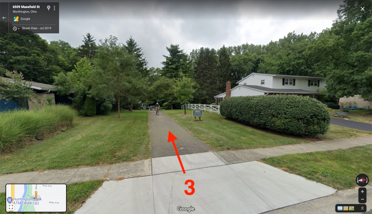
Worthington Estates to Olentangy Trail
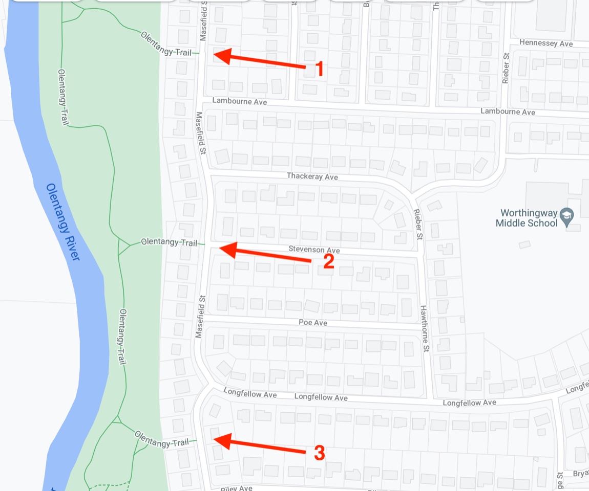
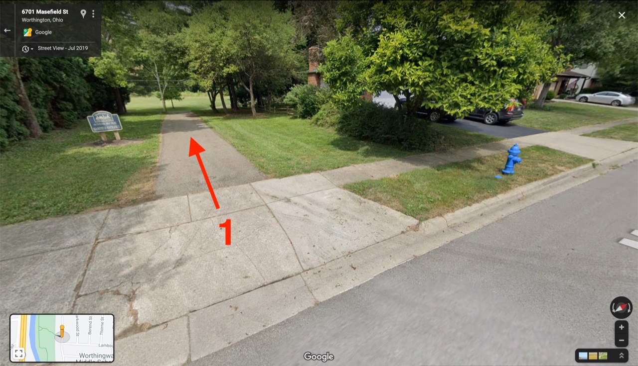
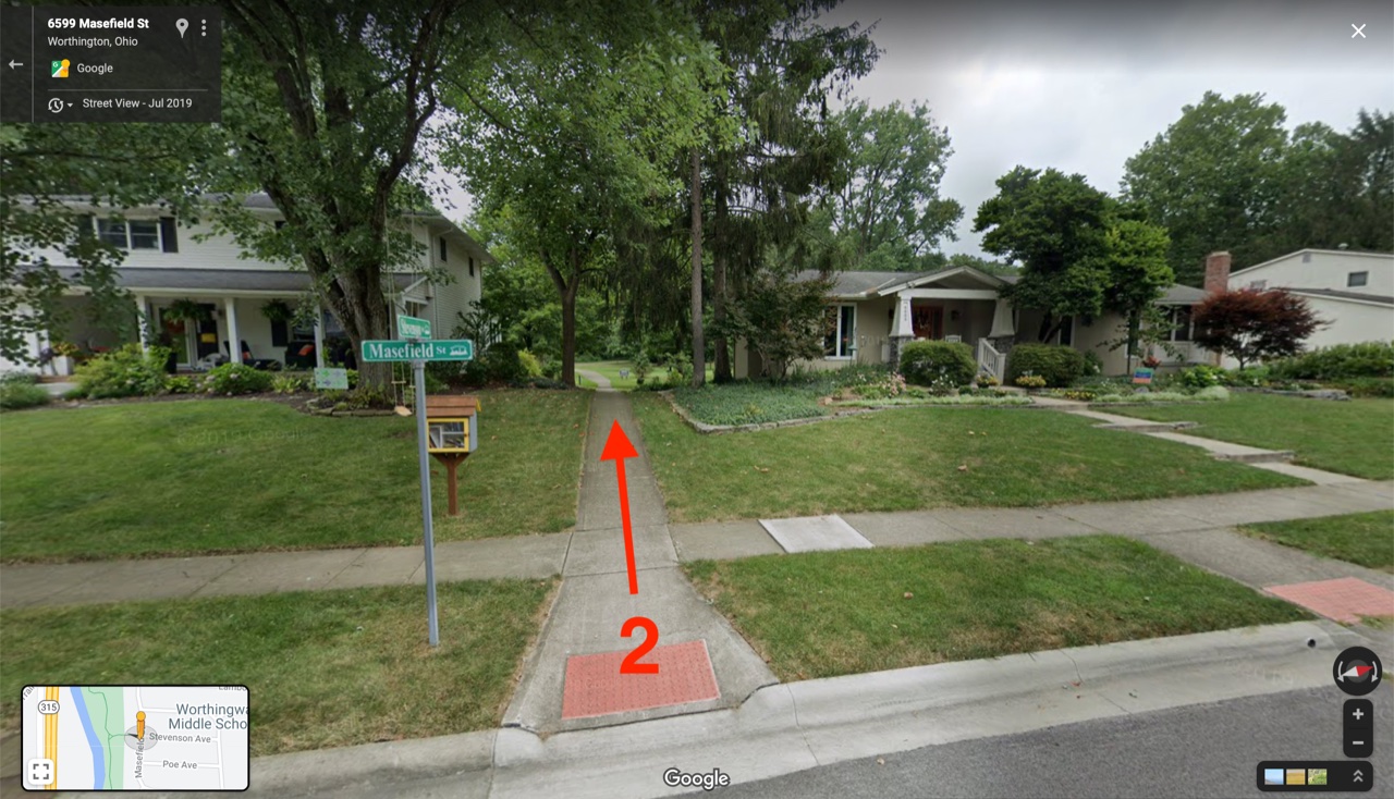
Worthington Estates is connected to the Olentangy Trail in 4 locations (three are shown below). These connection provide a safe way for people in Worthington Estates to get onto the Olentangy Trail system. See it on a map.
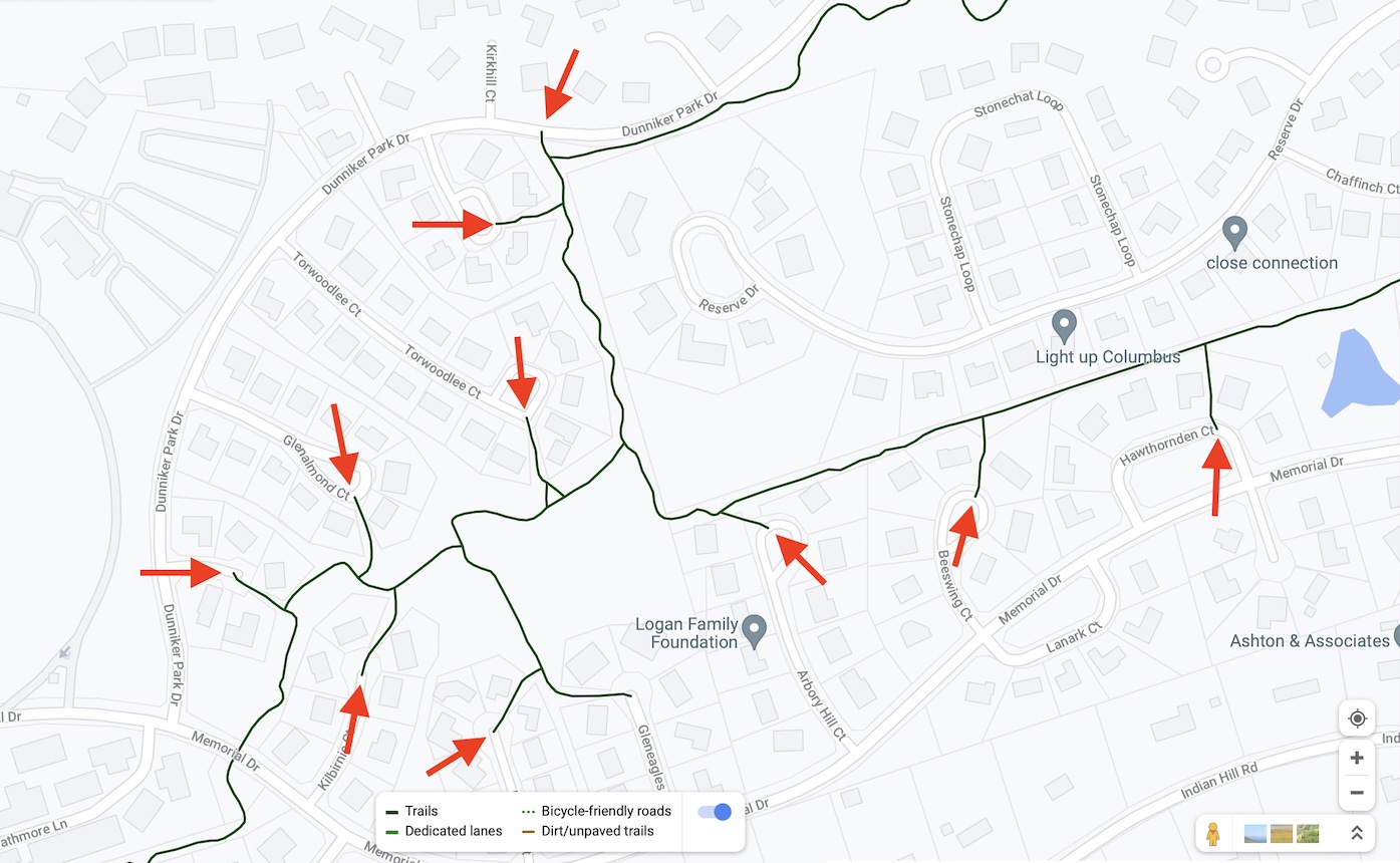
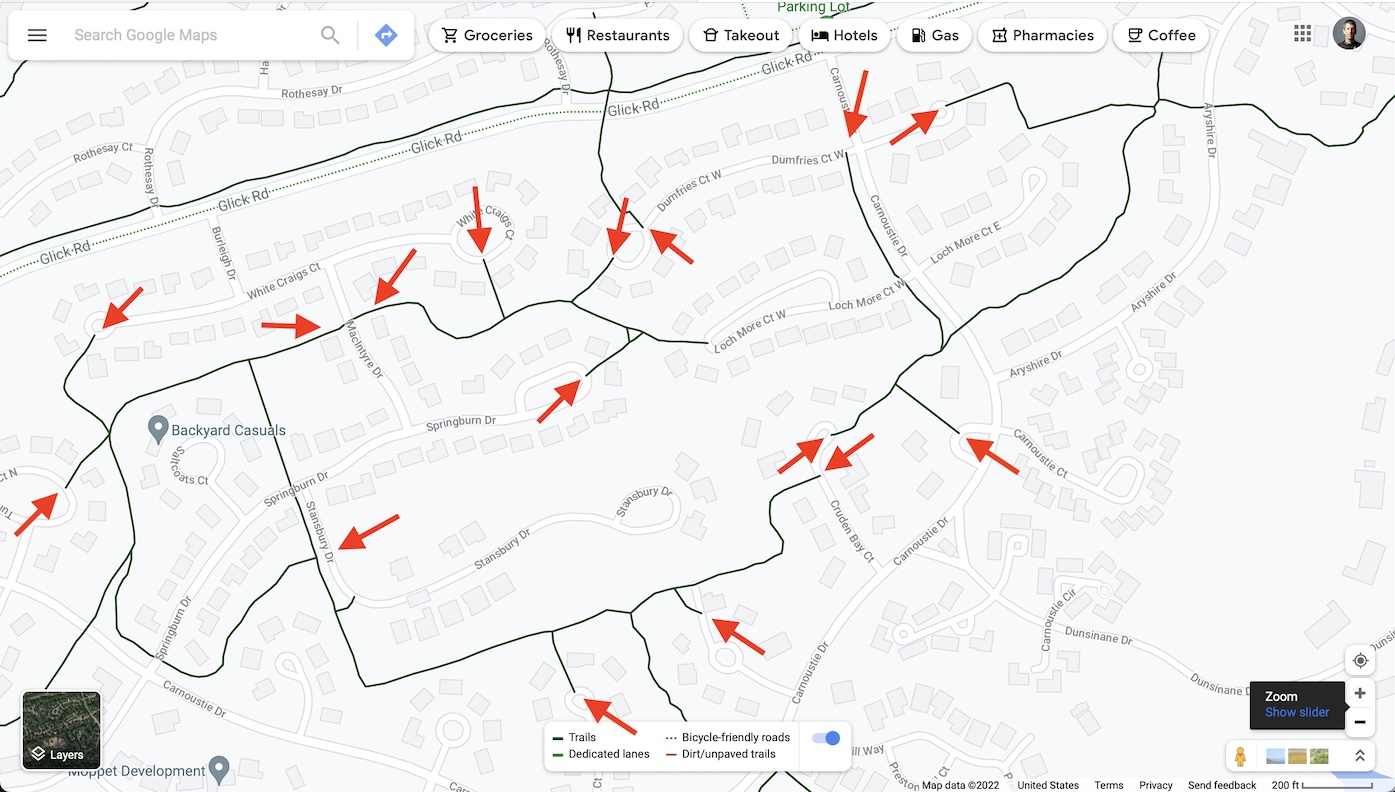
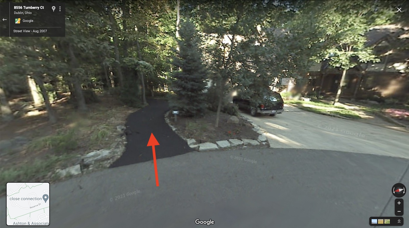
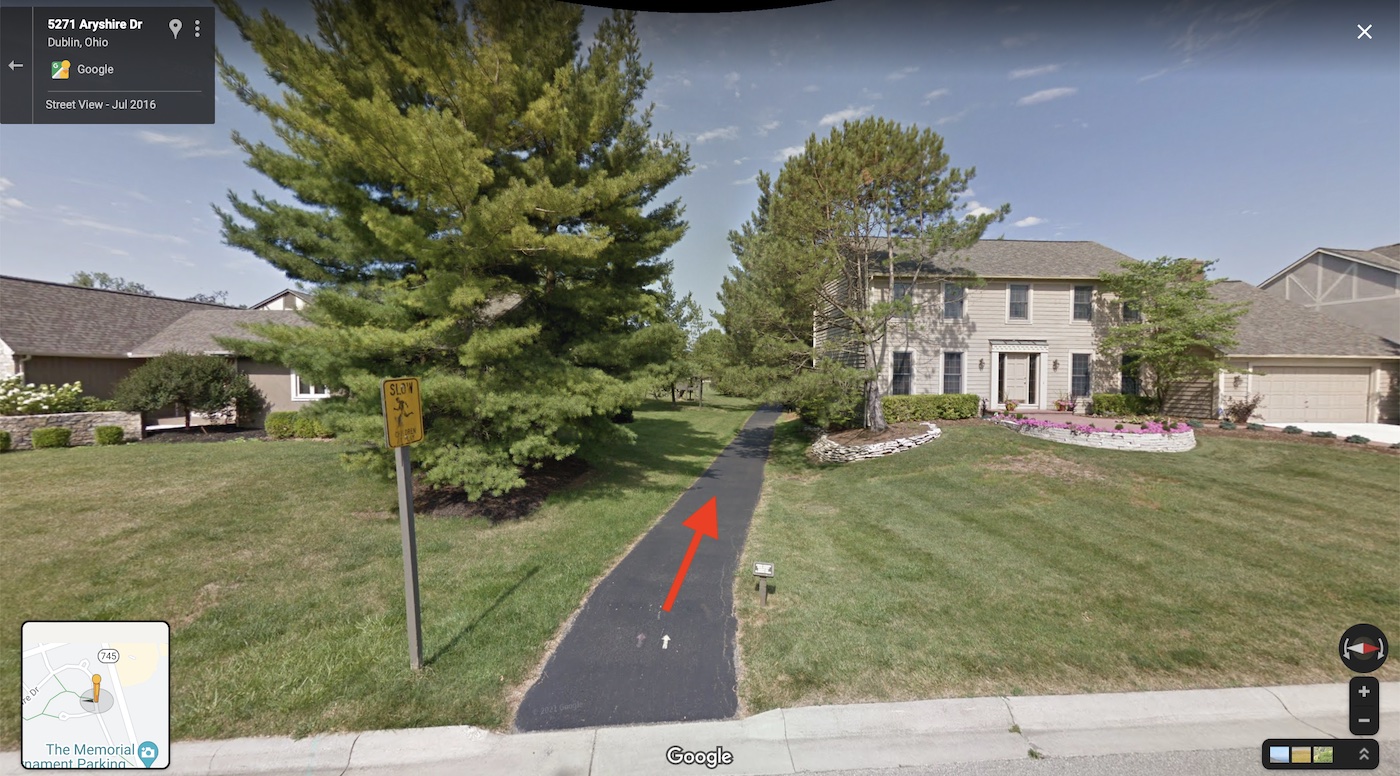
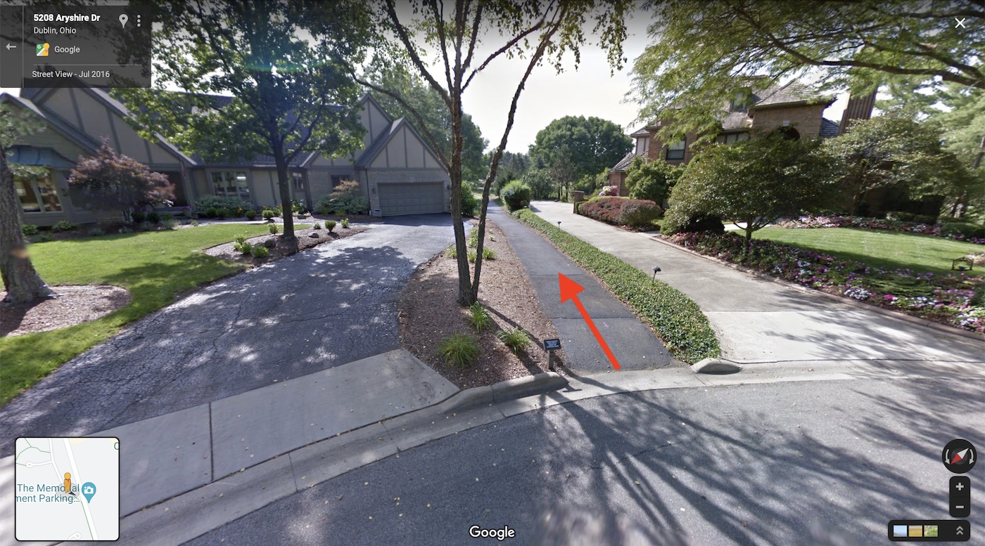
Dublin Neighborhood Connections
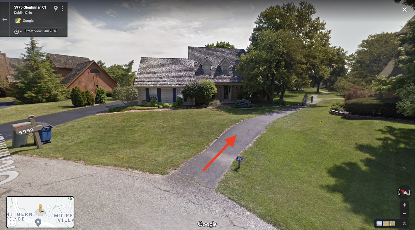
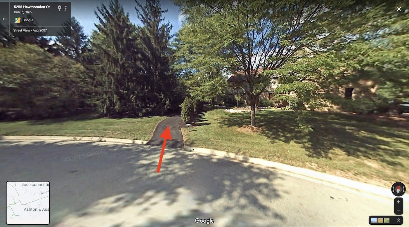
Dublin neighborhoods are connected with a large network of shared use paths. These connections, most of which pass directly between homes, provide a safe way for residents of Dublin to move around their neighborhood.
